Despite a rise in high school graduation rates, college enrollment is dropping from its 2011 peak, leaving many small colleges scrambling. Here in Virginia, enrollment has largely been steady, but two small colleges closed in the last two years, and others have sounded the alarm on declining enrollment or missed targeted growth. Every struggling college certainly has its own history and unique problems. But larger trends always pick off stragglers. In Warren Buffet’s words, “when the tide goes out, you find out who’s been swimming naked.” And the tide appears to be going out. A rash of articles has addressed the subject, with some of the leading culprits being the improved economy and job prospects for those without degrees.
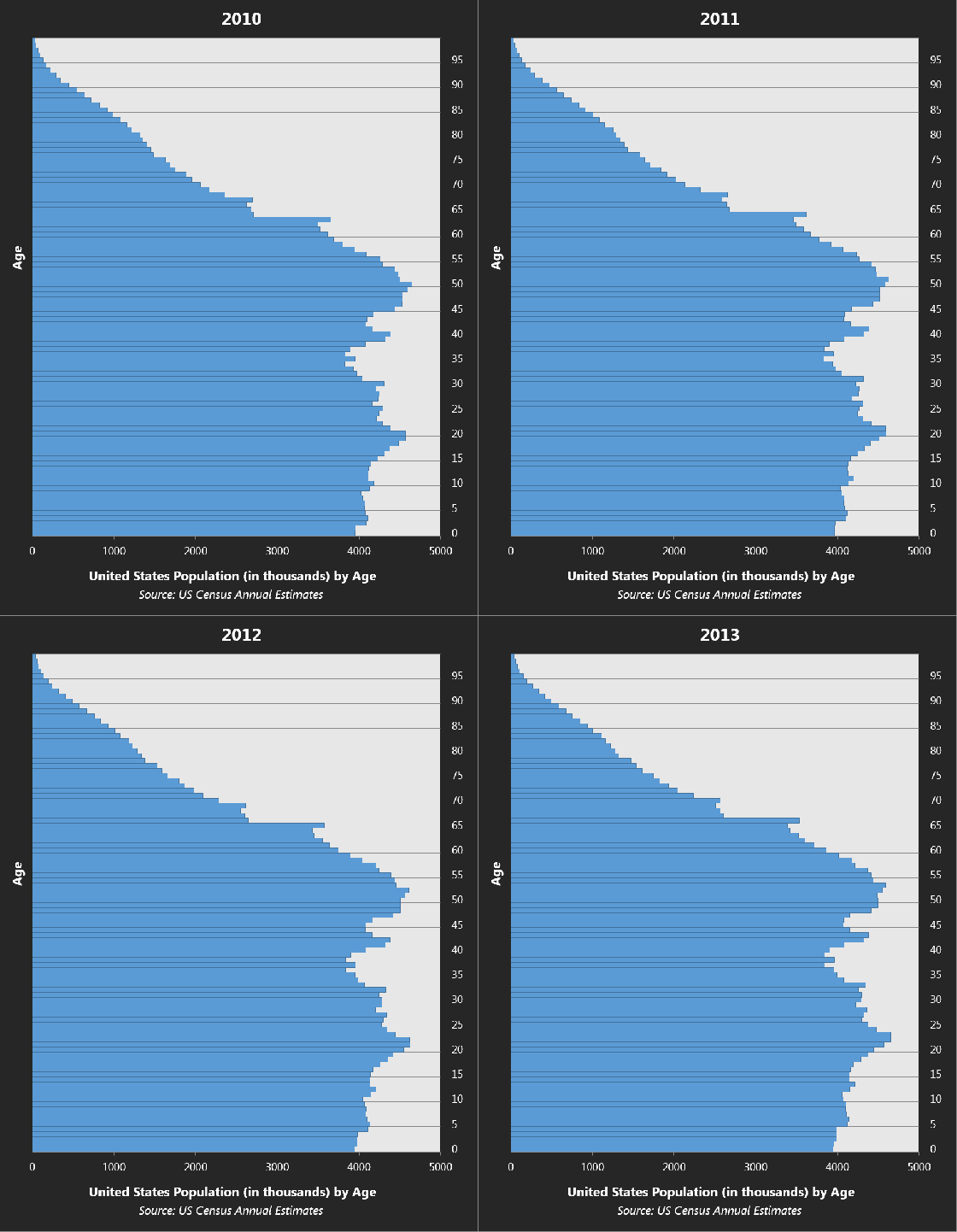
But the big factor that doesn’t seem to be well-understood is simple population math. College attendance has climbed over the years to the point where an overwhelming majority of American young people will enroll in college of some kind at some point. This makes college enrollment extremely sensitive to fluctuations in the number of young people available. The generation currently in college or recently out of it is one of the largest this country has managed to produce. It’s no wonder there was a spike in enrollment, recession or no, back in 2008-09 if one looks at the number of Americans who were just reaching 18-19 years of age. Since then those numbers have fallen sharply and will continue to fall more slowly for the foreseeable future as the U.S. birth rate hovers below replacement (on a positive note, most of that decline is attributable to a precipitous decline in teen pregnancy).
Here is the United States’ population by age from 2010-2013.


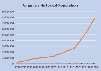
 Virginia’s suburban counties, such as Prince William, or in any of Virginia’s metro areas, you likely grew up with the impression that growth is as certain as the seasons. For decades, many counties in Virginia have grown relentlessly, constructing thousands of homes each year to house new residents. With more residents come more schools, roads, offices and shops. Except for the hard times around the Civil War, Virginia’s population as a whole has grown continuously since it was a colony.


